
The western end of the trail is shown on both traillink.com and google maps to start at Midwest Avenue and Oak Street in downtown Casper, but actually it starts now at Midwest and Ash Street. The unimproved two blocks west of there to Oak has been obliterated by construction of a new building. Here we're looking west from Ash Street: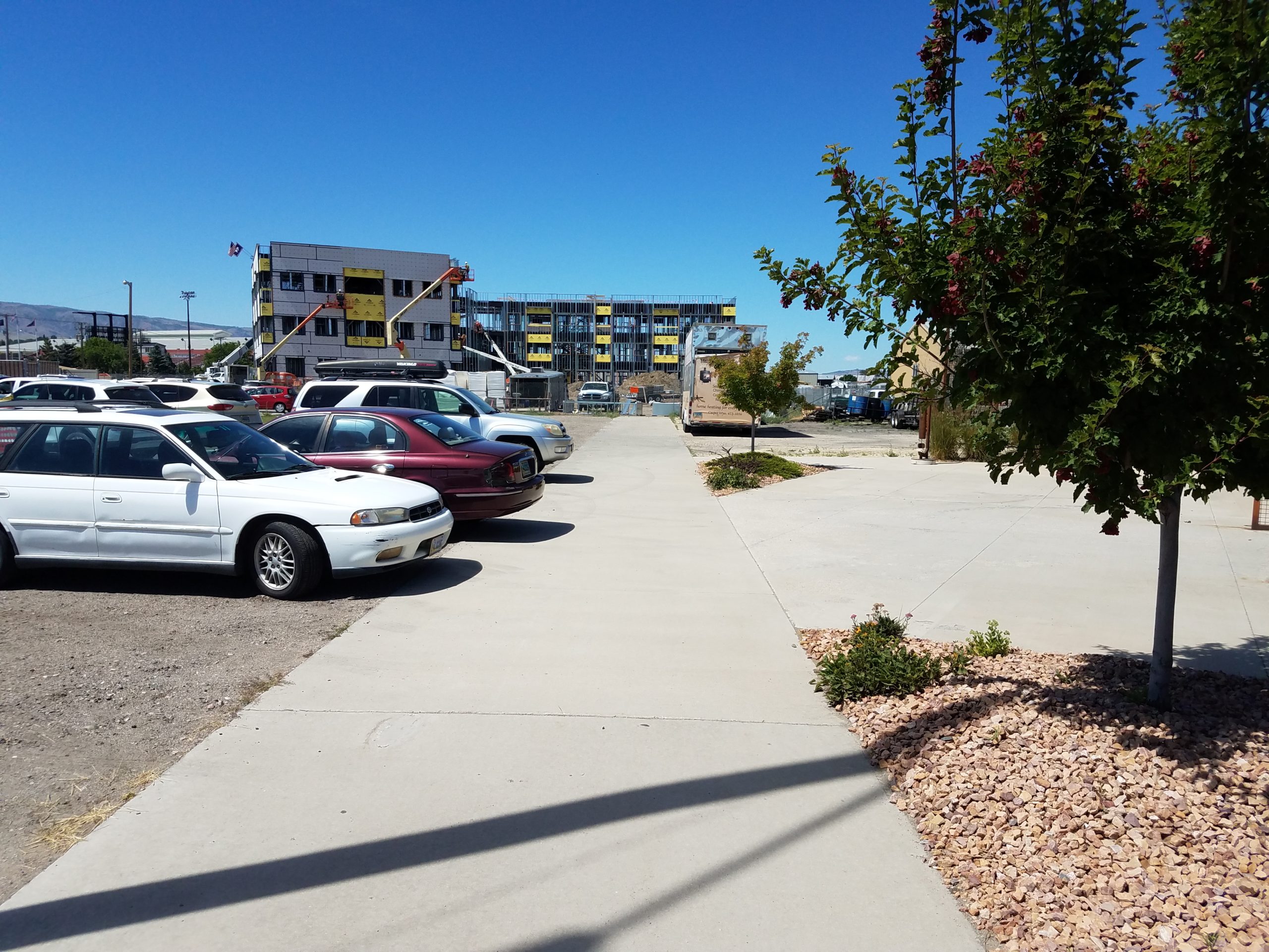
And turning around, we're now looking east at Ash Street: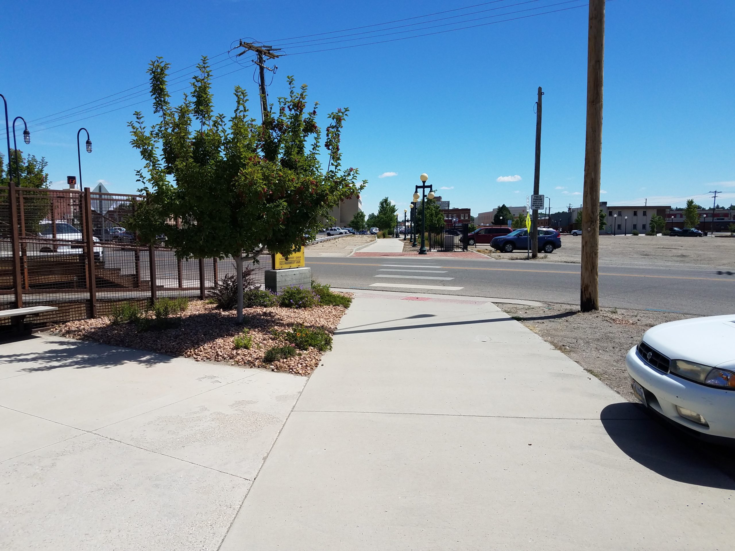
Just past Center Street, two blocks from out starting point:
The building on the left is the Bank of the West. People without a whole lot to do apparently hang out on the bench just ahead. I was accosted by someone asking for a couple dollars for bus fare.
Approaching Durbin Street in this shot. Out of frame to the left is the Natrona County Library. I stopped for about an hour to do a bit of research on rail-served industries for both the Burlington and the C&NW in the 1930's to 1940's.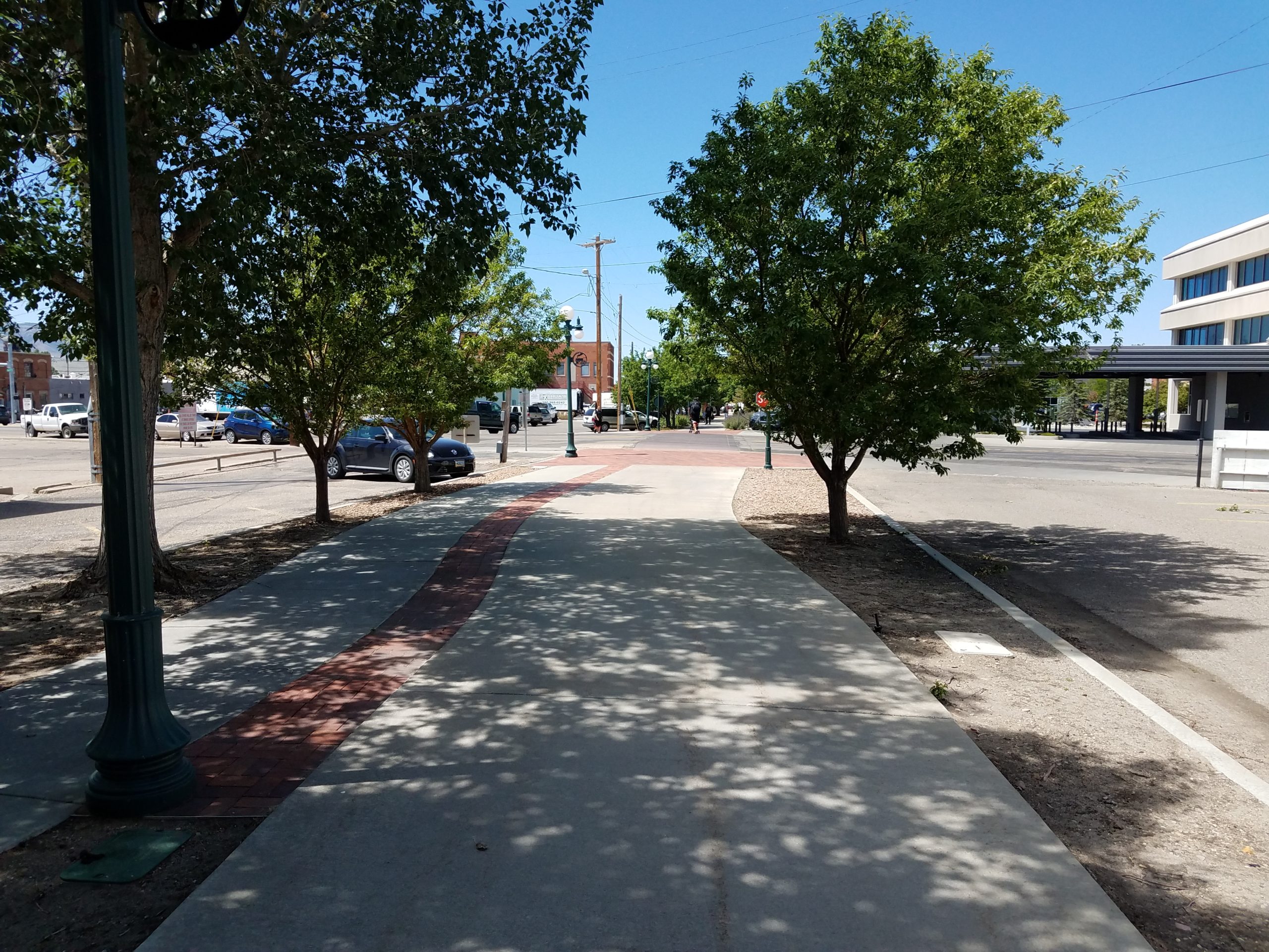
Here's a close-up of the lamppost in the previous shot. There are a lot of different metal placards on the posts, all different, in the downtown area.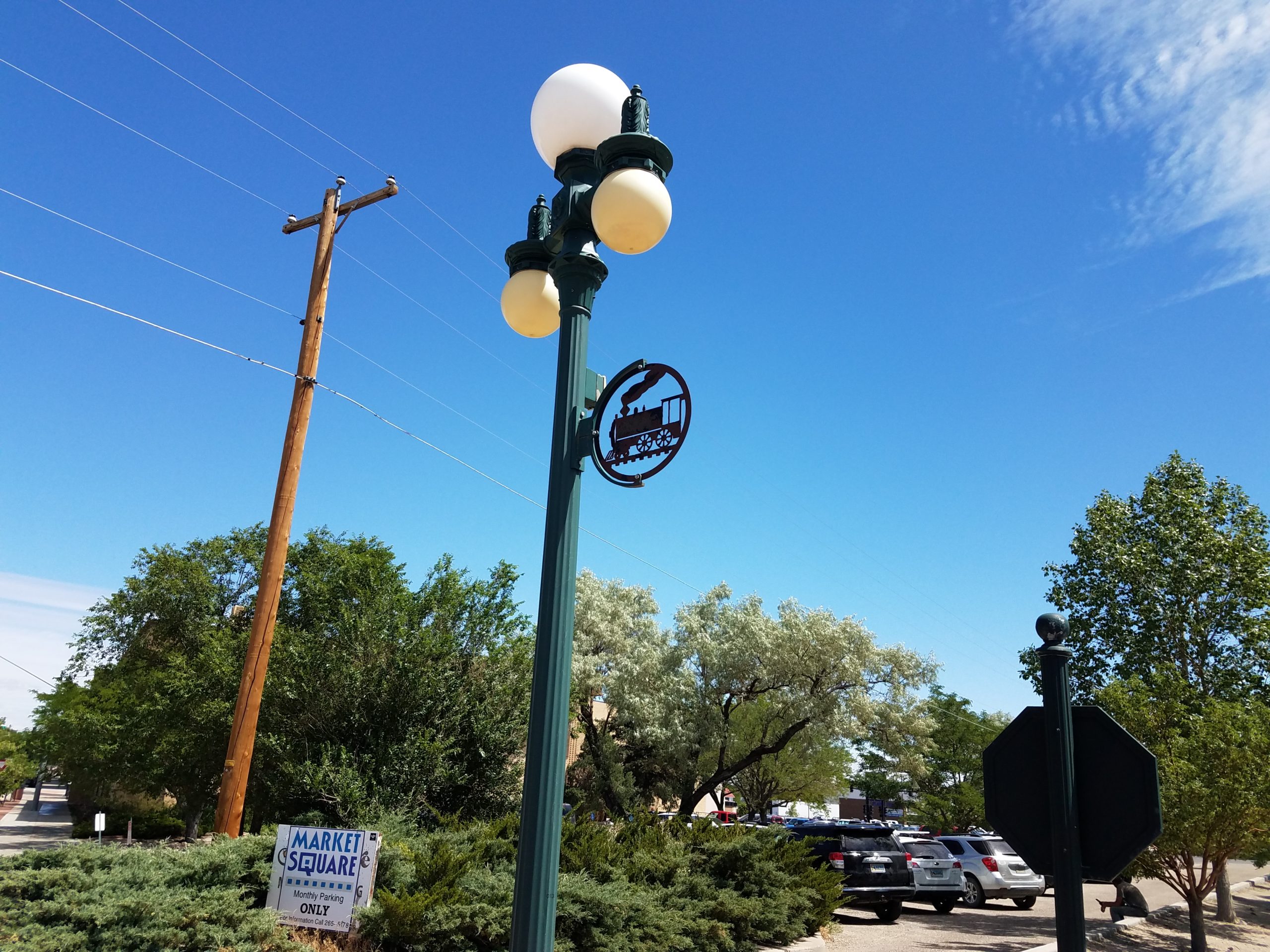
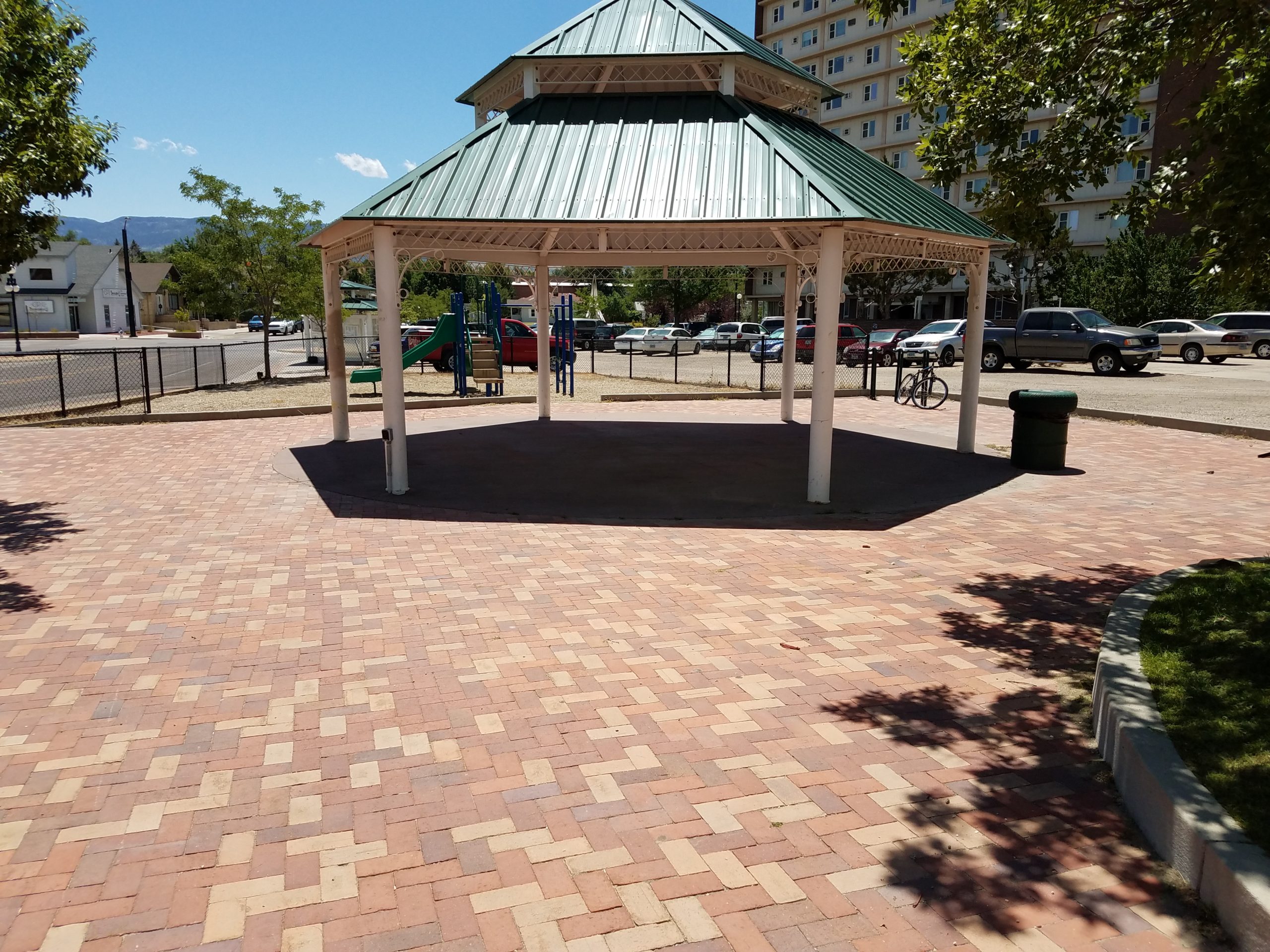
This area is called the Beech Street Plaza. It on - take a guess - Beech Street!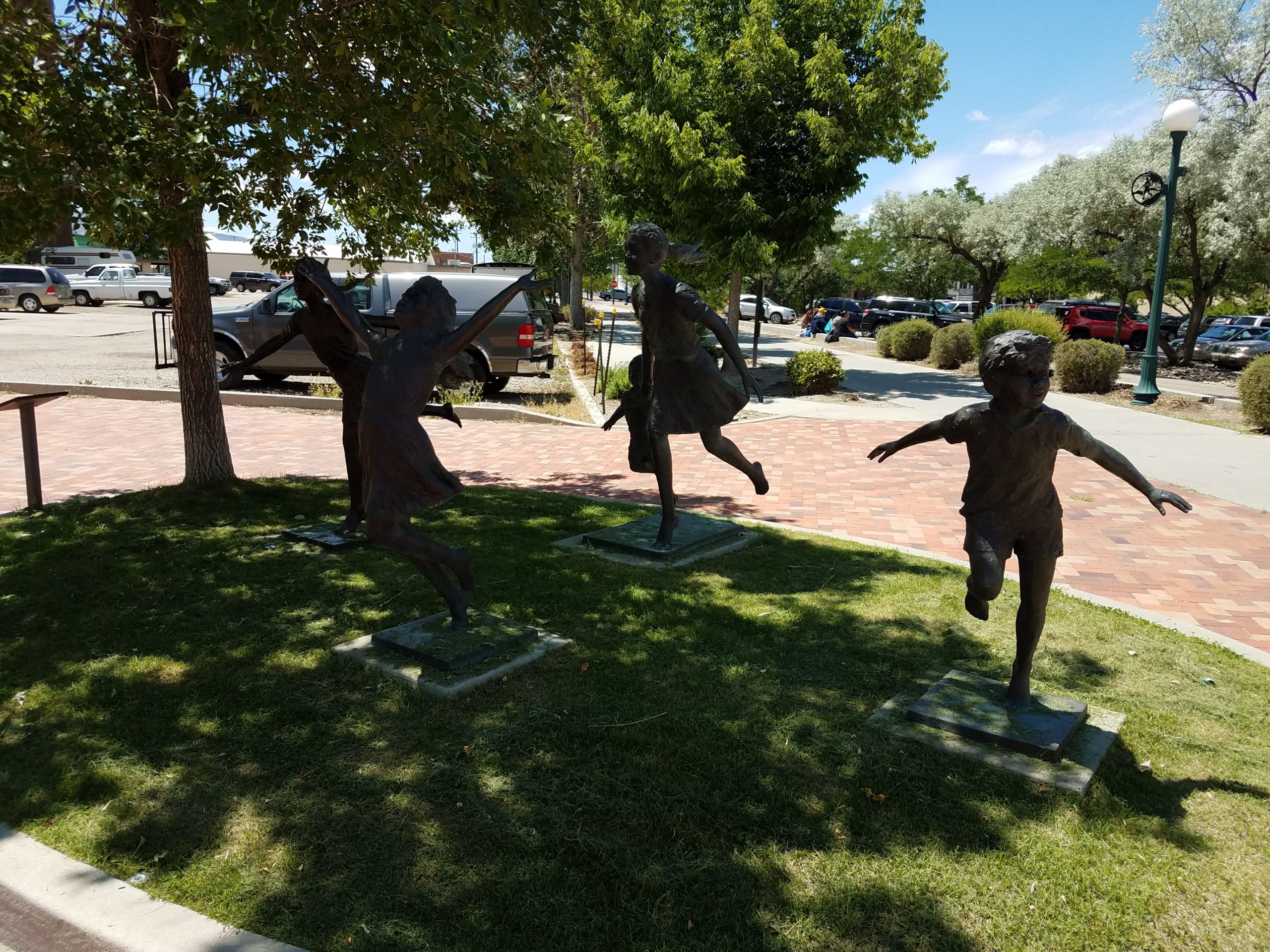
Across Beech on the right side is the Nicolaysen Art Museum: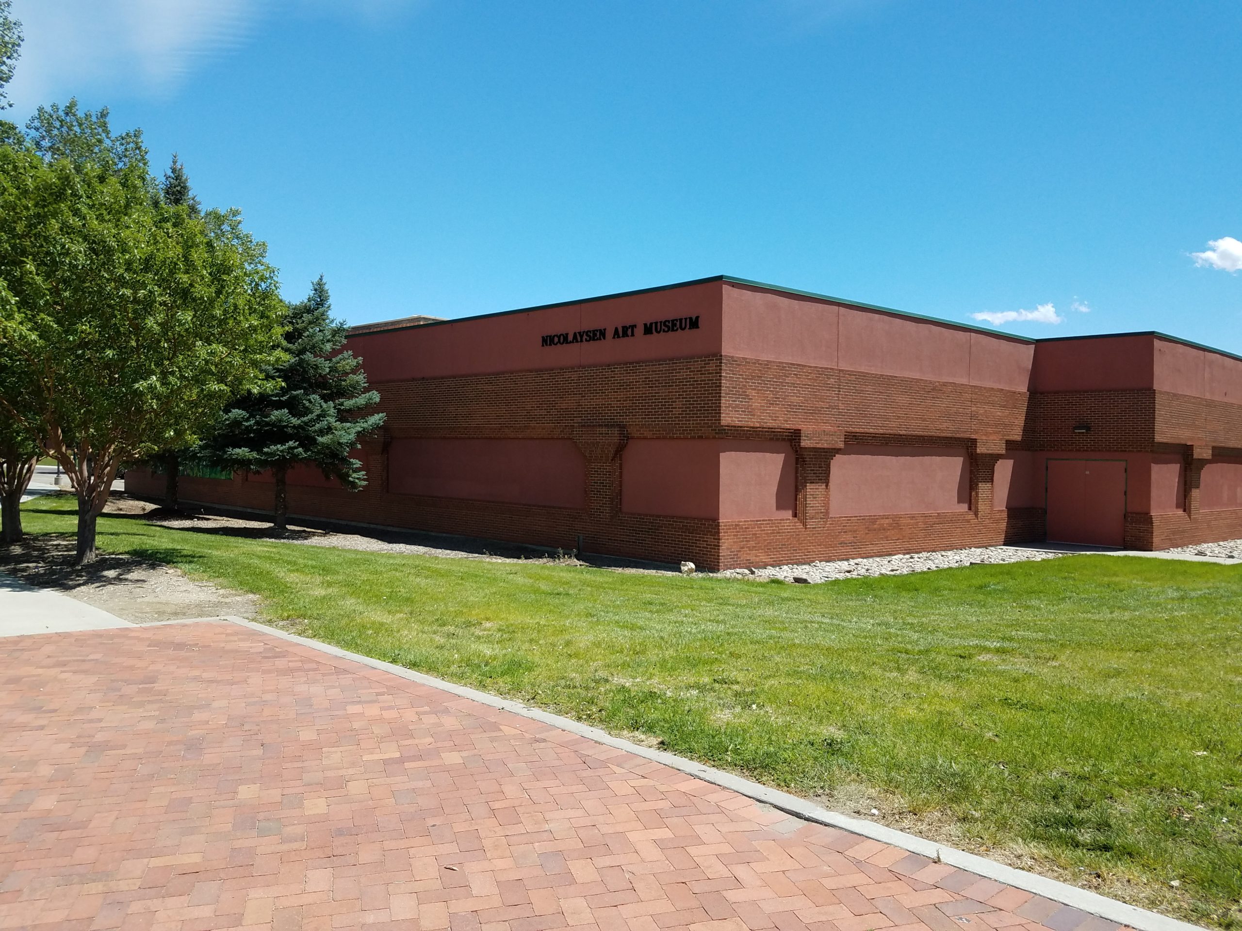
And on the left side at this same location is a short parallel path called "Monument Row." Those large headstone-looking things are etched with the Gettysburg Address, the Bill of Rights, the Mayflower Compact, the Magna Carta and other such historical documents.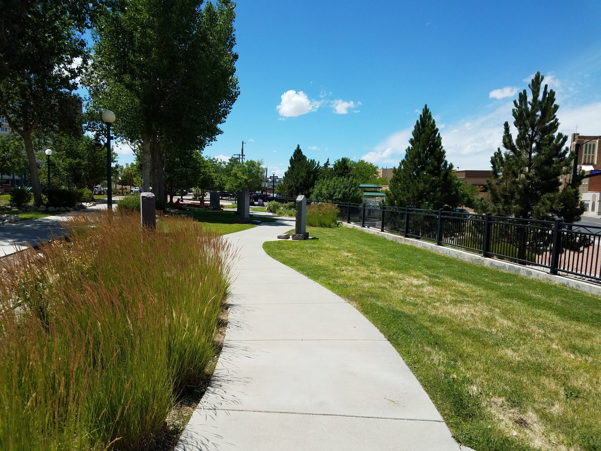
Just past monument row is one of the busiest intersections the trail crosses - 2nd Street, the main east-west thoroughfare through town, and Kimball Street, which connects Collins Drive (the old Railroad Avenue) to the west, to Yellowstone Highway to the east. On the trail you have to cross Kimball and then 2nd when heading east. The railroad used to cut right across both in the middle of the intersection. Here I'm loooking north and west across the intersection. I've crossed Kimball and am waiting for the light to cross 2nd.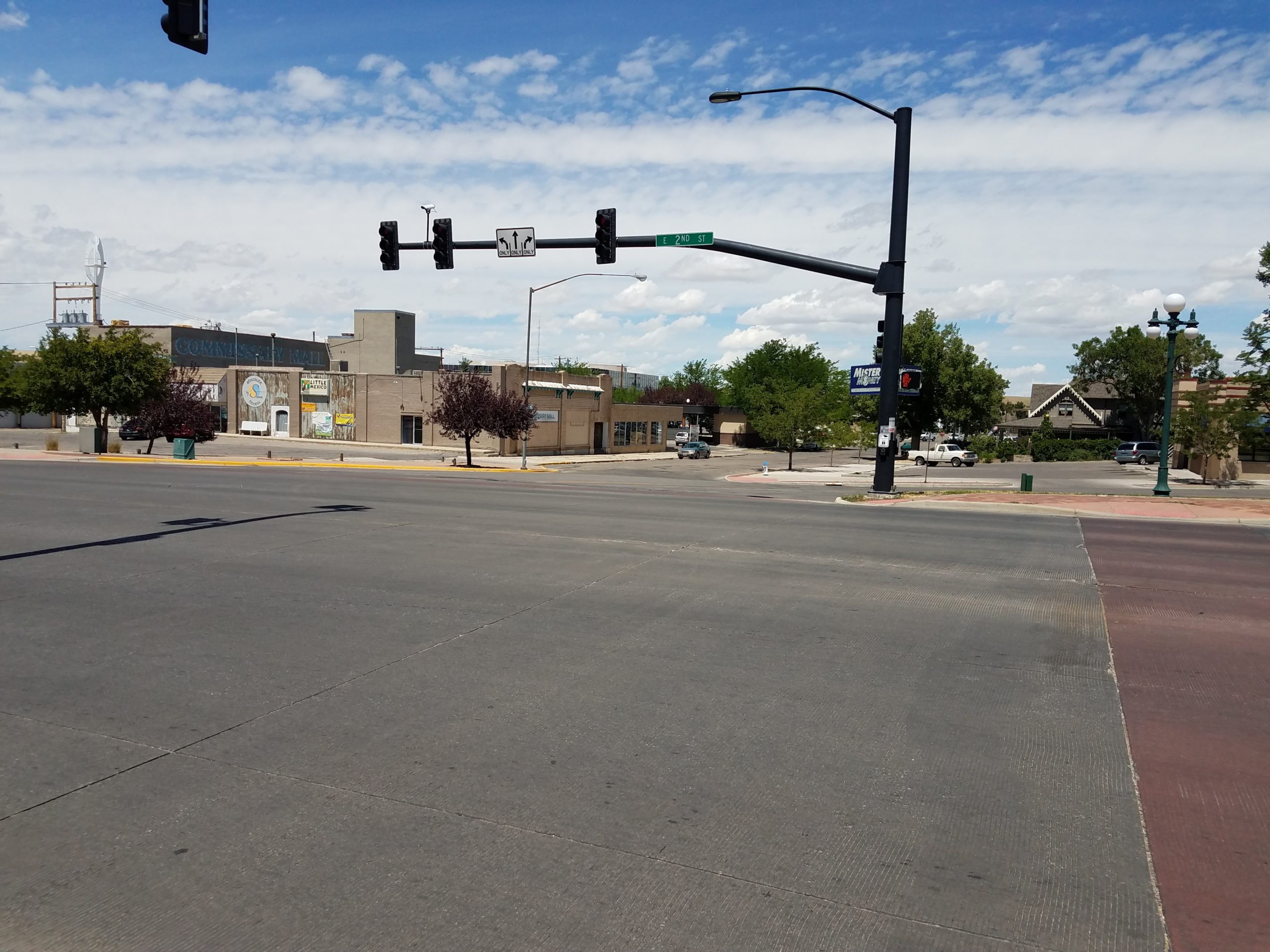
That building across the way is the Commissary Mall. Back when I was a young kid (55 years ago) I think it was a Sears. My mother called it the Sears Commissary, and it's where we did all of our shopping for school clothes (I'll bet you're thrilled to know that!).
Crossing 2nd at that same locations puts us at the west end of Veteran's Park.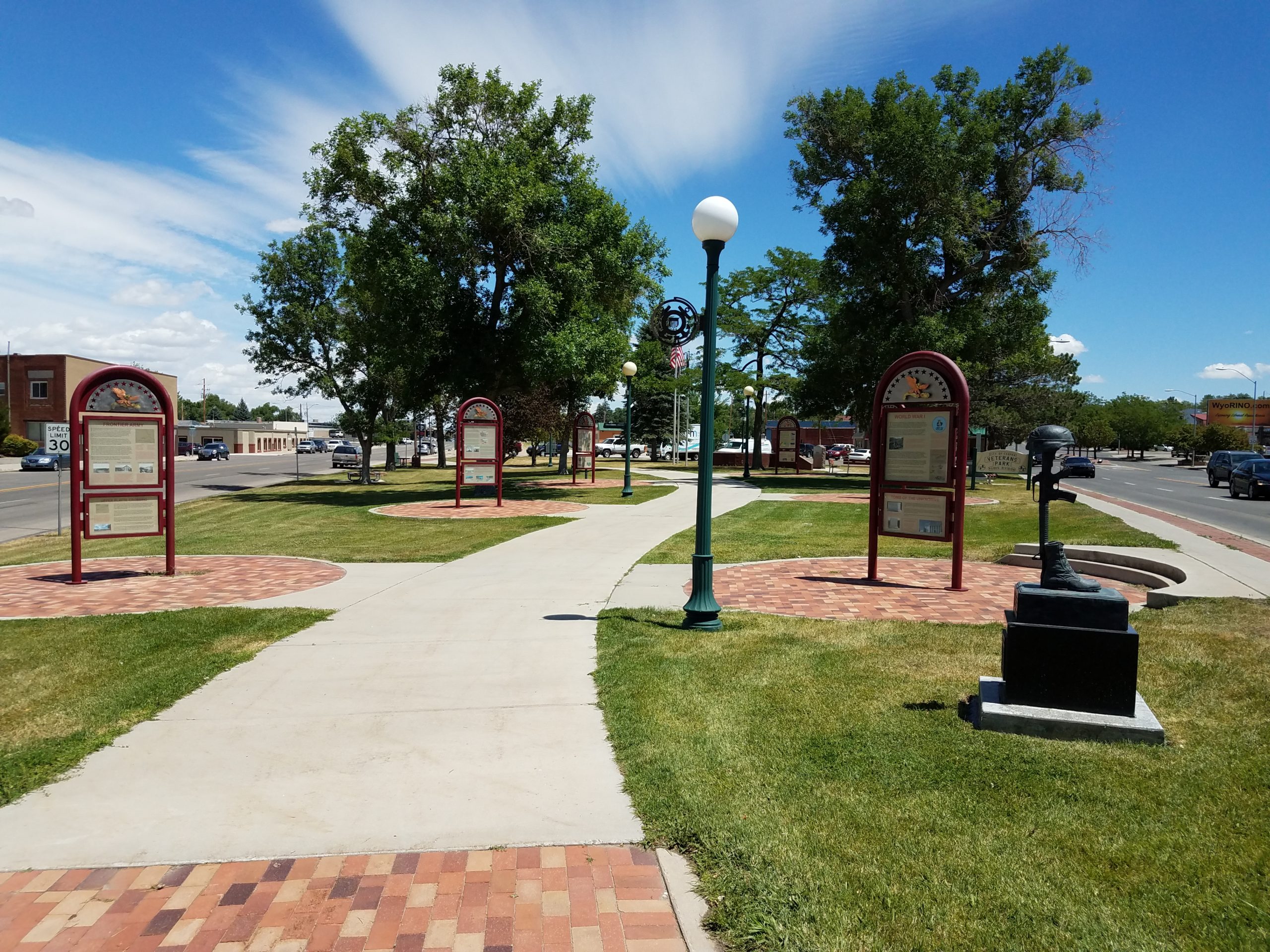
Veteran's Park extends from Kimball to the next Street, Park, between Yellowstone Highway and 2nd Street. Across Park Street in this shot, you can see Wyoming's answer to New York's Flatiron building.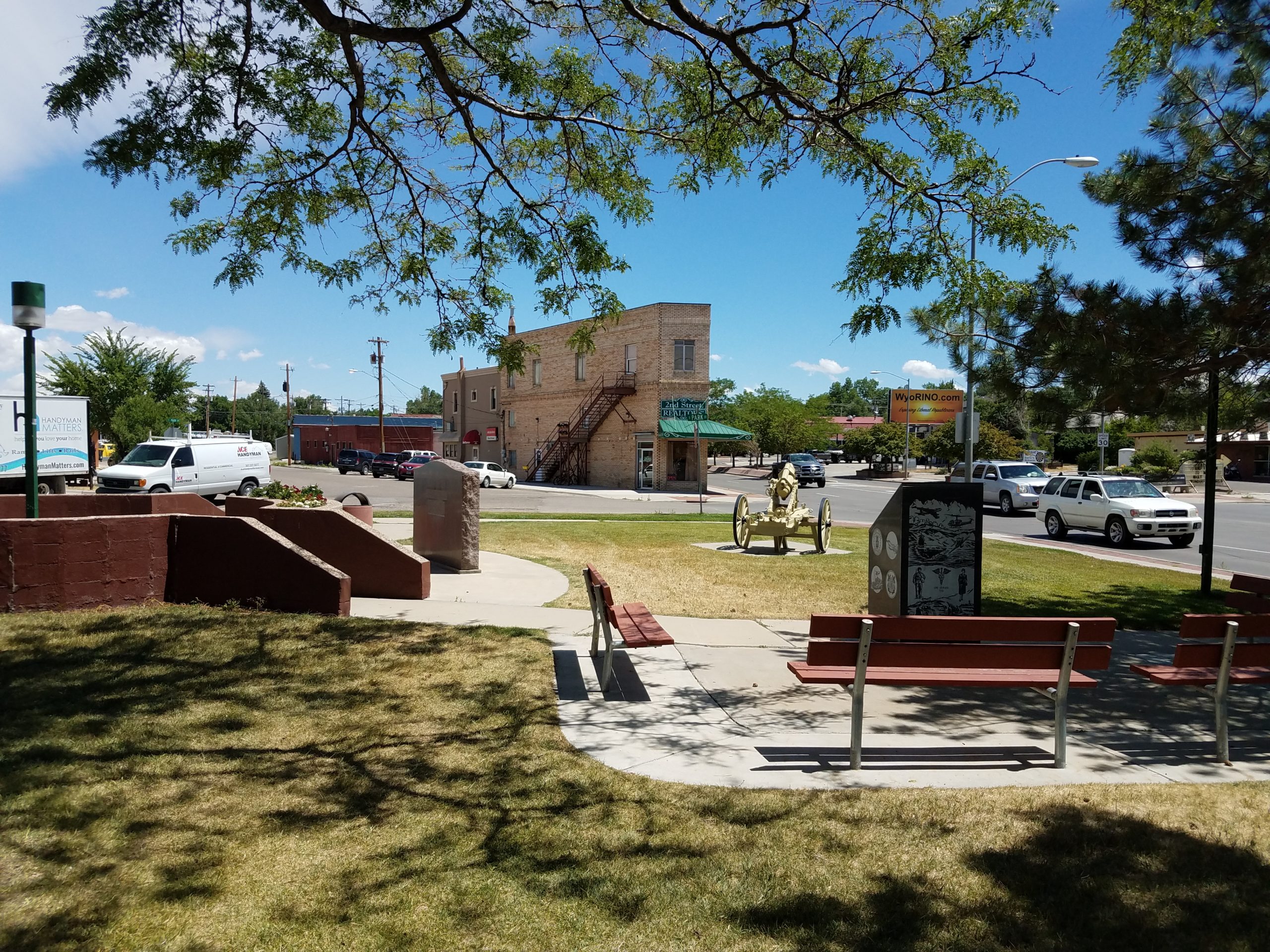
Beyond Park the trail moves into a clearly less urban setting. Buildings are longer and lower, and there's more space between the trail and the surrounding structures. We've left the downtown area of Casper.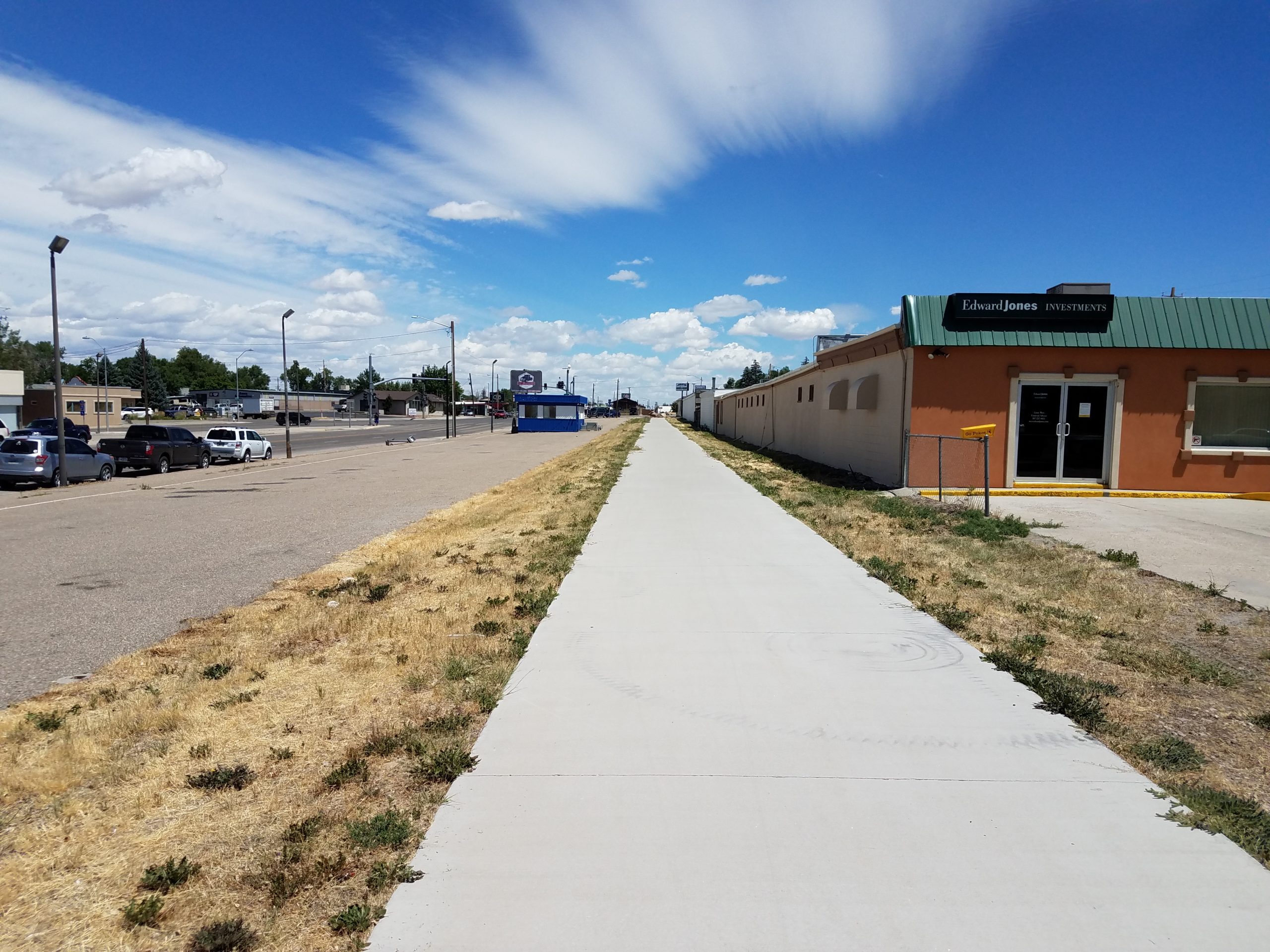
About 600 or so feet after crossing Park Street, the trail crosses 1st Street, the end and last east-west street the trail crosses. This one is much smaller than the 2nd Street / Kimball Street crossing. The trail meanders around just a bit before straightening out next to Yellowstone Highway.
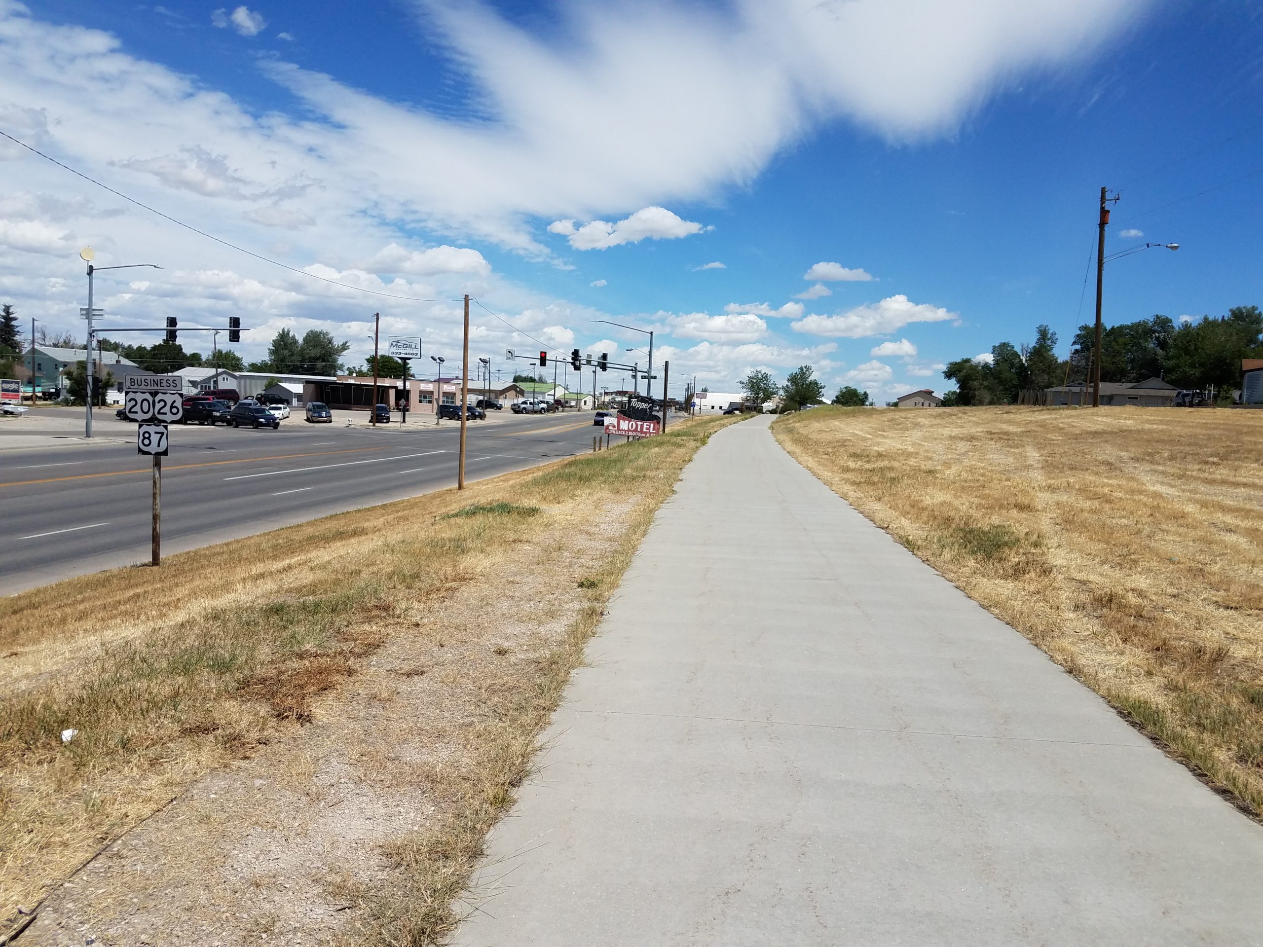
Around 800 feet past the 1st Street crossing we come to the intersection of Yellowstone Highway and McKinley Street, where we find this little gem of a sign: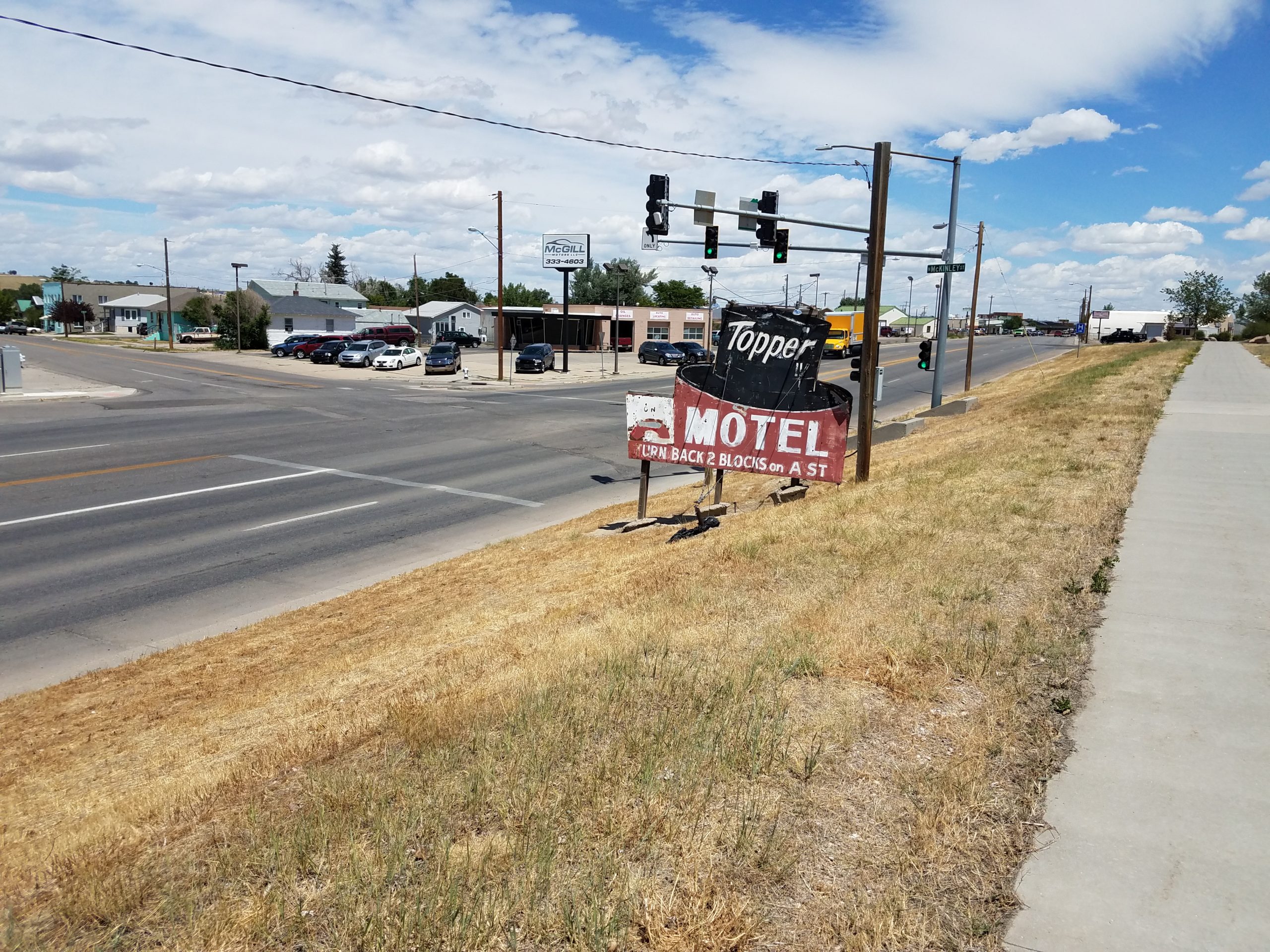
This sign has been here for at least 50 years, and I'm thinking it's been at least ten years longer than that. The Topper Motel has been gone for years, but it's legacy lives on. The sign survives simply because there isn't enough land on this side of the highway to do anything with.
The next crossing we come to is another north-south road - Jackson Street. On the far side of the street are these interesting looking metal benches: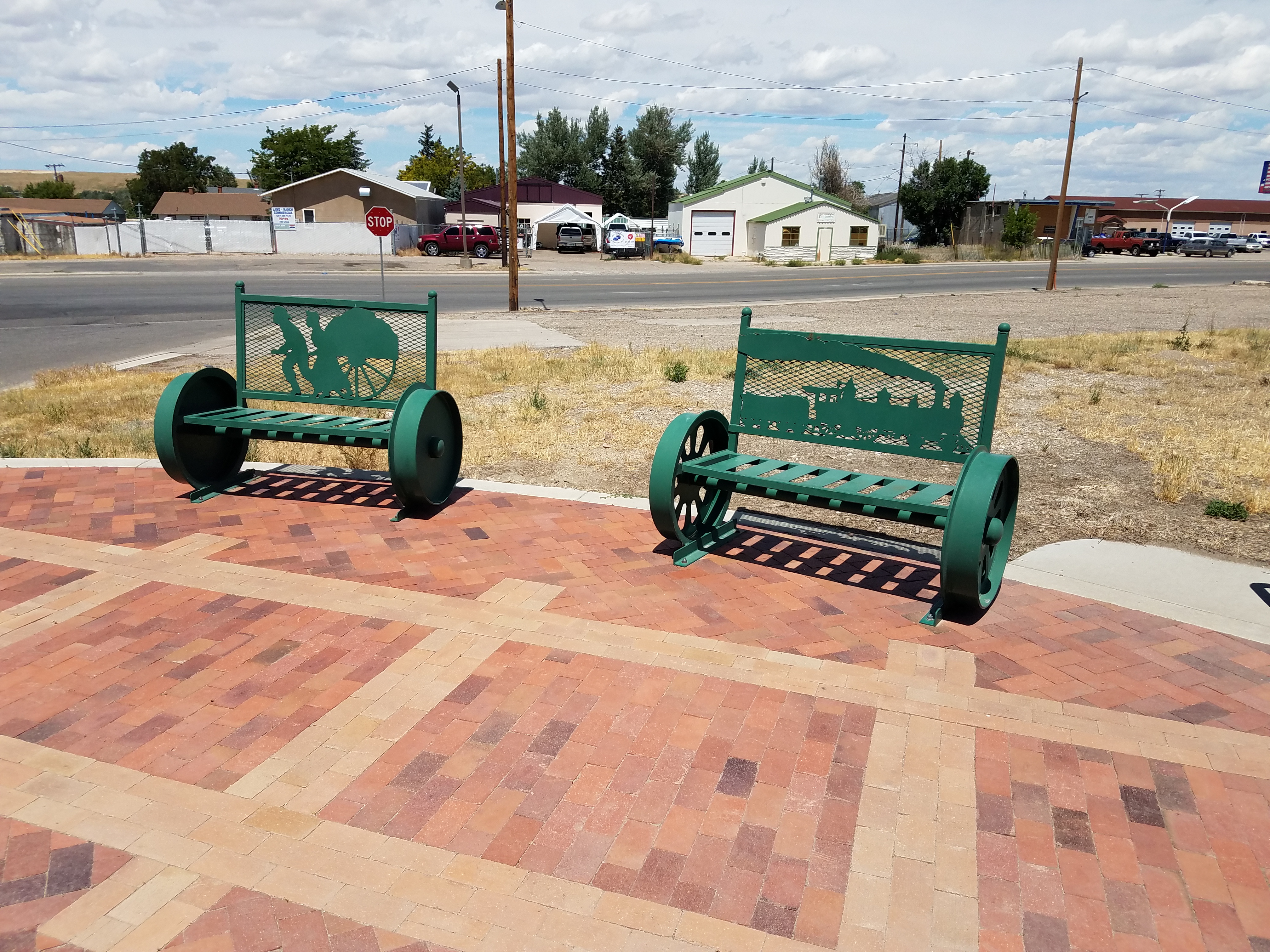
From Jackson we have around 1600 feet to the next crossing, Elk Street. The area around the trail is pretty open through this stretch.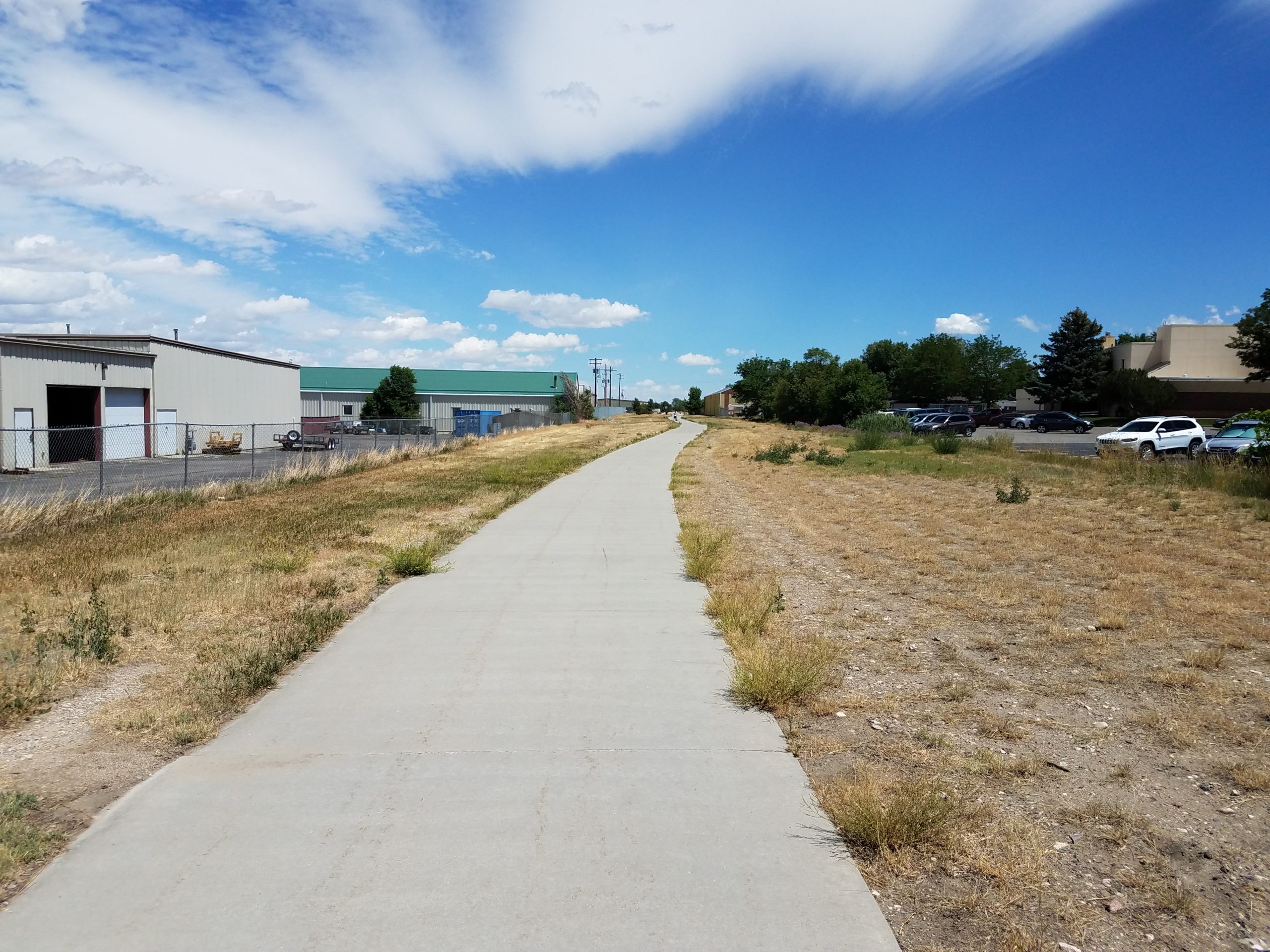
The tall brick building in the distance is Cost Plus Appliance. It used to be a potato chip factory.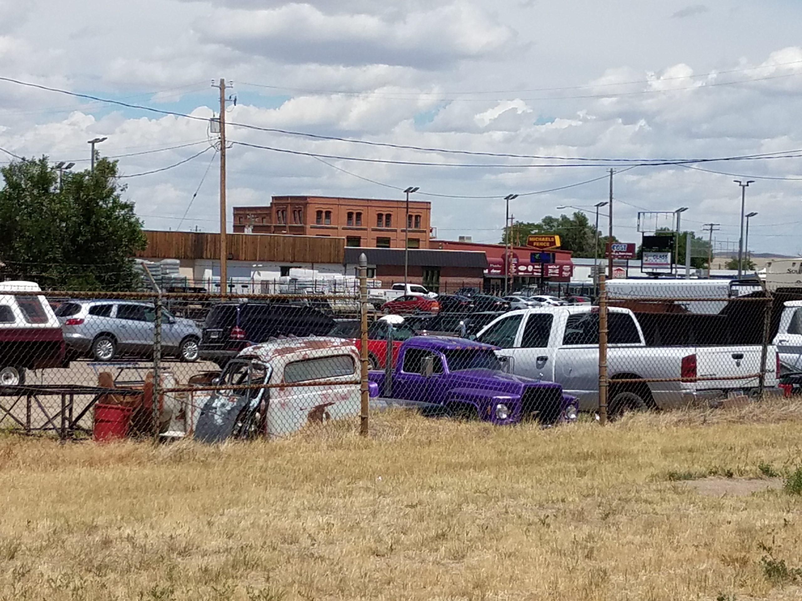
Looking to the left right after crossing Elk street, we see Dave & Jerry's Furniture Warehouse. I don't think they're in business anymore.
Heading east from Elk towards Lennox Street looks very similar to the stretch from Jackson to Elk.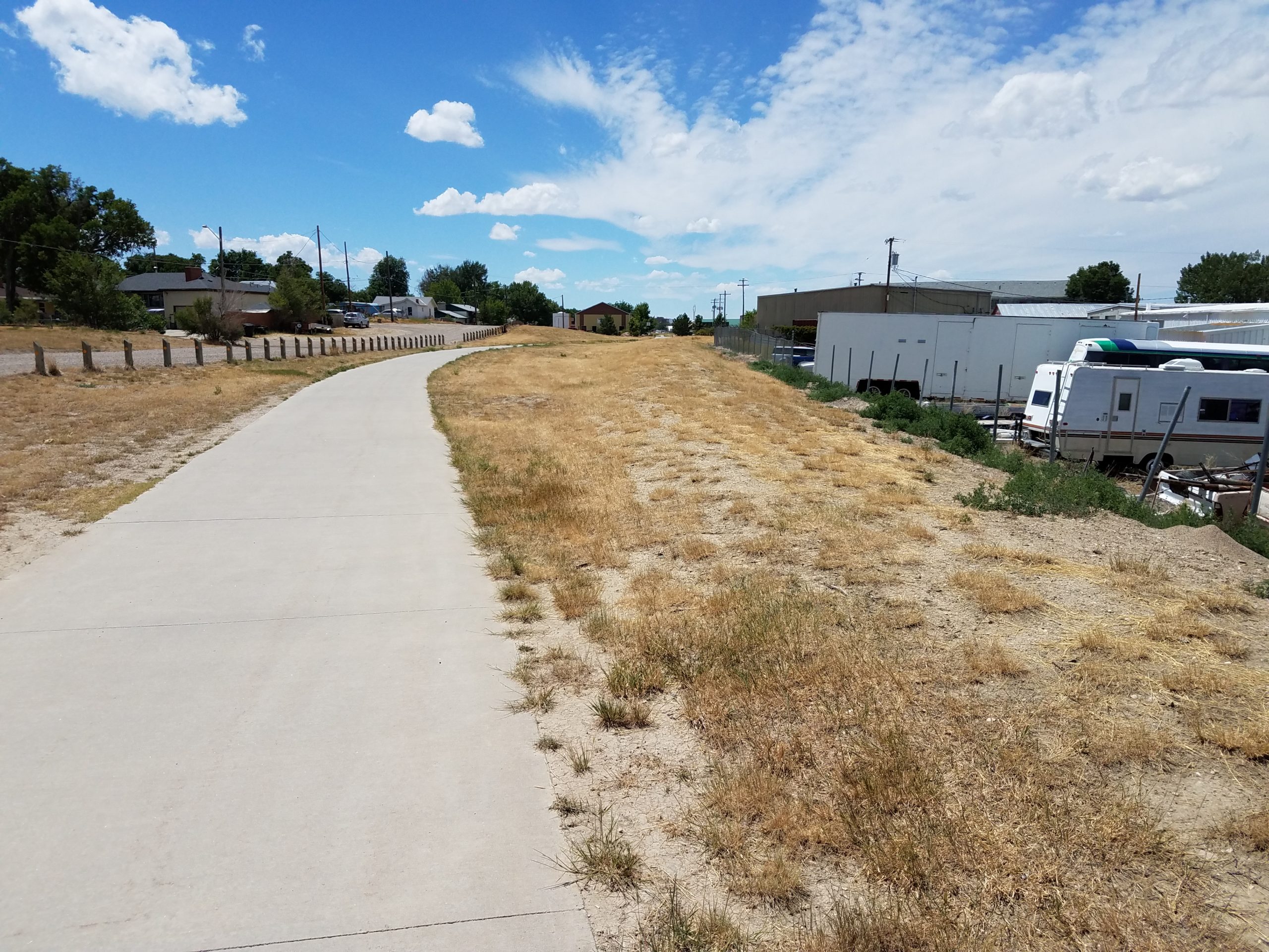
Looking back to the left after crossing Lennox, the white building (the one with the green dumpster) on the next corner was a Sweetheart Bakery back in the 1960's.
Proceeding east from Lennox we come to this very nice underpass that was built at Beverly Street. This was built just for the trail - the C&NW obviously crossed at grade.
Fifteen hundred or so feet past Beverly, near Dee place, we come across a small rest area with this bench: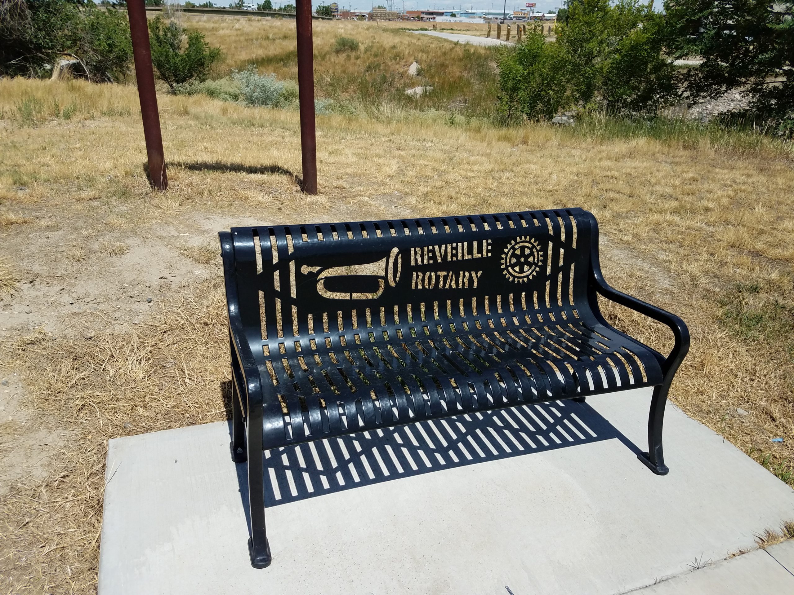
As we're approaching Walsh Drive and the end of our walk for the day, I saw this very old utility pole next to the trail. Is it the remnant of a telegraph line that followed the CNW, or something more recent? All I can tell now is that it's an orphan pole that isn't used for anything anymore. The grade is to the left of the trail in this area.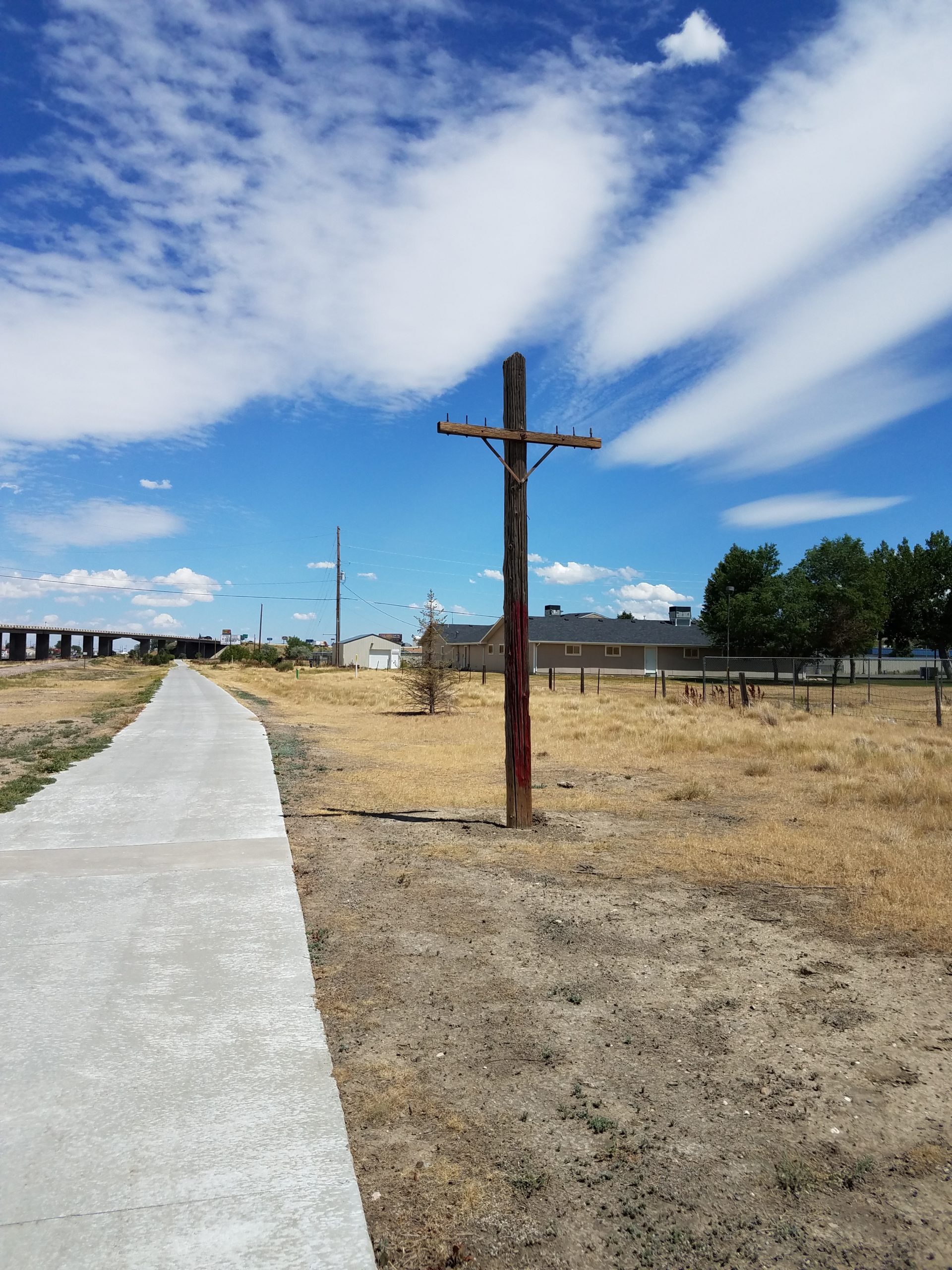
In the distance, is Walsh Drive, under the I-15 Overpass. I turned right at this point to go to my car parked in the Post Office parking lot a block away.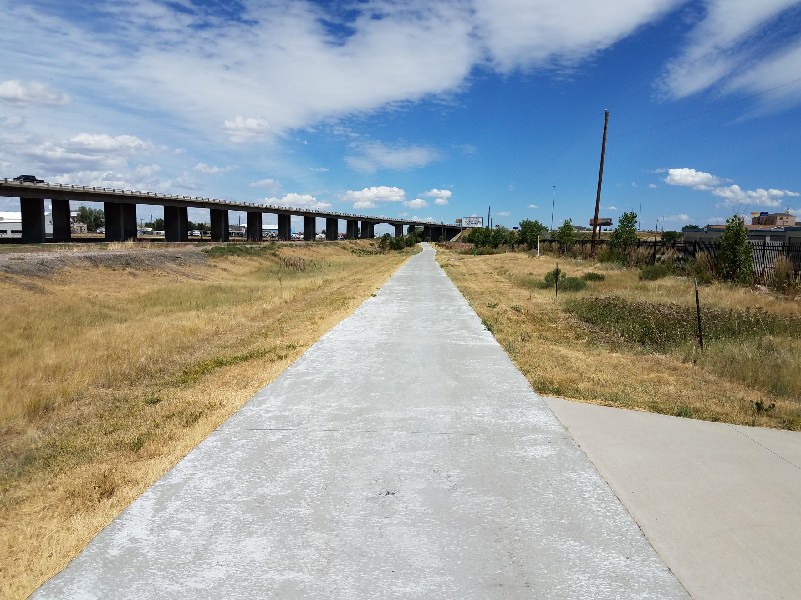 There is precious little of anything railroad-related left along the CNW line through Casper, at least to this point along the trail. At some point I'll walk the remainder of the trail from Walsh Drive east to Hat 6 Road. I'll add that little trek to the website afterwards. Thanks for following along!